Current El Niño constitutes the strongest event recorded, according to reports. Temperatures have risen over recent decades because of global warming, Michael McPhaden at the US National Oceanic and Atmospheric Administration stated.
The highest heat content developed before the last El Niño, between 2023 and 2024, due to the preceding 'triple dip', or three-year La Niña. This preceding La Niña involved stronger-than-normal trade winds that piled up warm surface waters in the western Pacific for a long time.
La Niñas typically last for nine to twelve months. Each wind burst generates a downward bulge in the warm water layer, known as a Kelvin wave, which travels across the Pacific over the following six to eight weeks.
The combined effect of successive westerly wind bursts and their associated Kelvin wave responses caused an exceptional deepening of the thermocline in the eastern Pacific, Michael McPhaden stated. In some areas, the thermocline currently sits more than 80 metres deeper than normal, Michael McPhaden reported.
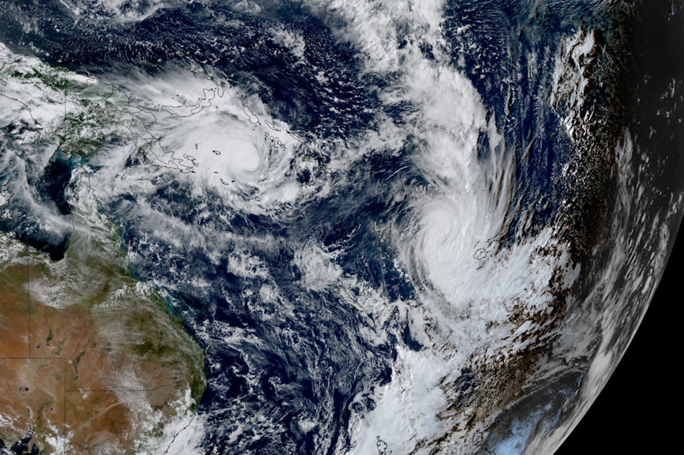
One strong wind burst in April resulted from three tropical cyclones forming in the western Pacific around the same time. Bob Henson claims that a stronger westerly wind push makes it easier for El Niño to develop and grow.
Bob Henson suggests that global warming might increase the chances of three cyclones forming at once. Michael Mann at the University of Pennsylvania noted that the link between El Niño and coral records remains unproven due to gaps in the coral record.
Michael Mann also stated that a reliable, continuous record of El Niño before the instrumental period is unavailable. Climate models show that whether El Niño event amplitude will increase or decrease with human-caused warming is nearly evenly divided.
Warming increases the damage caused by El Niños.